June 20, 2005
pretty images?
I bought a new toy and after a couple of days of playing with the settings I came up with the idea that I could draw some images out of the data recorded by the device.
Another week of recording high-resolution tracks and another 2 days of writing Perl code I came up with the following images.
This is an overview of the whole dataset.
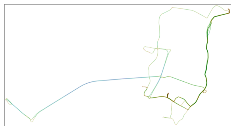
Resolution set at 20m per pixel.
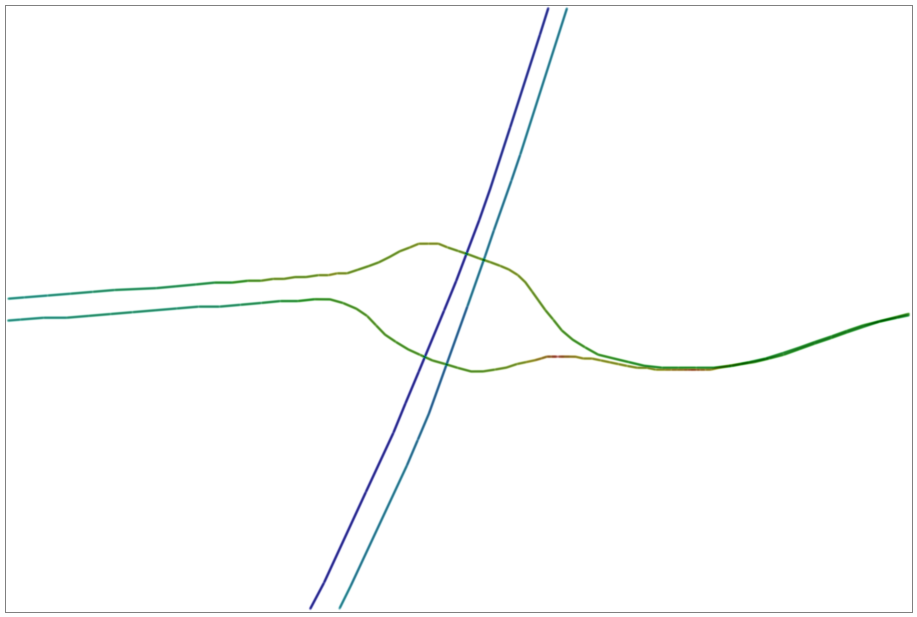
Let's drill down a bit. The next one shows a large roundabout, on the inrersection of M1 and M50. The detail you can see is amazing. 1 meter per pixel.
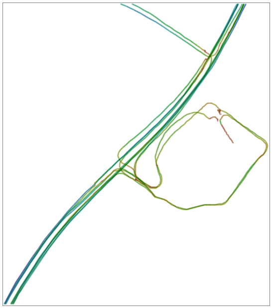
This one is a shopping mall where I go regularily. Again 1 meter per pixel. You can even see clear lane separation on the road.
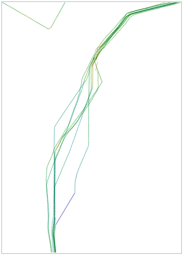
And the last one for tonight shows that I clearly need a roof GPS antena for my car. This is a wood area with bad GPS reception because of tree overcast.
Color gradient is red through blue for low to high speed. Density is for certainty of the data at that pixel.
Tools:
Garmin GPSMAP 60CS
Debian GNU/Linux
Perl, Time::ParseDate, Data::Dumper::Simple, GD, Graphics::ColorObject
A total of 280 lines of pure homegrown perl code.
Questions/comments?